English
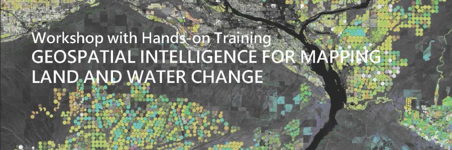
Poster of the event 1-DAY WORKSHOP FOR LEARNING HOW TO USE SATELLITE DATA FOR PRODUCING DIGITAL MAPS WITH A FOCUS ON NATURAL RESOURCES AND DISASTERS Satellite observations provide powerful data and tools for understanding and managing natural resources and mitigating nuisance impacts of natural and human-driven disasEarth Technology Expoters. Earth observation supports scientists, professionals, governmental…
continua a leggere