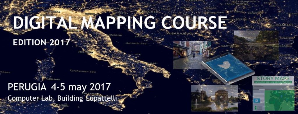
Free course to get you started on the use of the ESRI ArcGIS platform to create Digital Maps from Open Data.
The course is tailored for young students, graduates and professionals that want to learn the potential of using digital maps for improving their professional skills for multi-disciplinary applications with specific regard to professional sectors of communication, marketing, international relations and cooperation, water and environment, land management, sustainable development and for all the disciplines profiting from Digital Geography. At the end of the 2-day course, participants will be able to independently gather and analyze Open (Geospatial) Data, understand and efficiently use GIS software and to create and publish online digital maps. The event is organized by the Water Resources Research & Documentation Center (WARREDOC) in collaboration with the INNLABS at the University for Foreigners of Perugia. The event is organized in collaboration with ESRI Italia and GEOsmartcampus.
LIVE MAPPING TWEET COMPETITION
The course participants will be guided in developing a Story Map in the topic “Digital Mapping & Active Citizenship” by using data from social networks (twitter, instragram, …). The best three Digital Map projects will be selected by a panel of experts and awarded during the session “Digital mapping, open geo data and active citizenship for sustainable development” organized by the WARREDOC within the National Conference ESRI Italia to be held in Rome on 10-11 may 2017. The three winners will be hosted by ESRI Italia and be part of the Live Mapping Tweet Team to develop an experimental social communication campaign during the two days of conference
Everyone will receive a certificate of participation.
Program
Thursday 4 may
09:00-13:00 – Introduction to GIS and the ESRI ArcGIS platform
14:00-17:00 – Introduction to Digital Mapping and practical exercises with ArcGIS PRO
Friday 5 may
09:00-13:00 – Guided learning tutorial to use Open Data for drafting Digital Maps
14:00-17:00 – Project development for the Live Mapping Tweet Competition
Wednesday 10 – Thursday 11 may
National Conference ESRI Italy in Rome.
Presentation and award ceremony for the three winners of the Live Mapping Tweet Competition
Material:
1st Day Tutorial: Basic guide for Digital Mapping (ArcGIS PRO, ArcGIS Online and Storymaps)
2nd Day Tutorial: Communicate the Social Media Experience (BirdIQ, Google Fusion Tables, CARTO)
To register, fill out the online form or send an email to warredoc@unistrapg.it
With the patronage and collaboration of

 English


