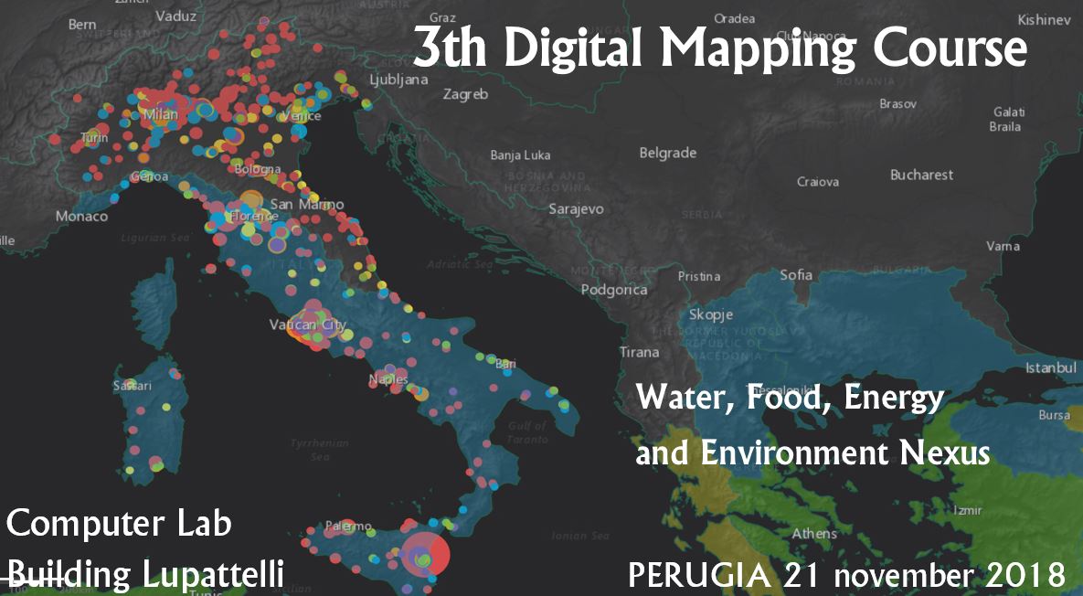
1 day course to learn about Open Data and Digital Maps
Digital maps are powerful means for knowledge development, decision-making, scientific dissemination and information sharing to/from experts and citizens. Open Data, Big Data and Citizen Science allows observing, monitoring and understanding natural and anthropic processes through new lens. Smart phones, drones, webcams – among the many low cost technologies available to date – provide new data and unveil perspectives that did not exist before. Story maps, geospatial and location intelligence, and web based interfaces empower data visualization tools in a dynamic geospatial context to provide increasingly efficient infographics and statistics on several multidisciplinary topics including, but not limited to, urban and environmental sustainability.
Free course to get you started on the use of the ESRI ArcGIS online platform to use Open Big Data and Citizen Science for understanding the Water, Food, Energy and Environment Nexus
This course is tailored for young students, graduates and professionals who want to learn the potential of using digital maps for the topics related to water, food, energy, environment and sustainable development. This learning open initiative is for anyone interested in learning (or improving) Digital Mapping with specific focus on using digital data for your professional and scientific interest or for creating maps for your website or blog. At the end of the course, participants will be able to independently gather and analyze Open (Geospatial) Data, understand and efficiently use online GIS software, create infographics and publish Story Maps for communication purposes. The event is organized by the Water Resources Research & Documentation Center (WARREDOC) in collaboration with the INNLABS at the University for Foreigners of Perugia with the collaboration and support of ESRI Italia and Geosmartcampus.
Are you interested in getting started with Digital Maps for Data Science, Citizen Science and Geo-journalism? Please join us.
Language of the Course will be English, but material and technical assistance will be provided in both English and Italian.
Any info or doubt? Send us an email to warredoc@gmail.com
Everyone will receive a certificate of participation.
Program
Wednesday 21 november
09:30 – Welcome / Introduction
10:00-11:00 – Introduction to GIS and ESRI ArcGIS platform
11:00-13:00 – Guided learning tutorial to use Open Data for drafting Digital Maps
13:00-14:00 Lunch break (sponsored by ESRI Italy and Geosmartcampus)
13:00-18:00 – Project development and presentation
Digital Mapping Award
The top three projects will be presented and awarded. The award ceremony will take place on 22 november as part of the closing session of the International Workshop held at the UNESCO WWAP office of Villa La Colombella (Perugia)
All participants will receive a certificate and the privilege to publish their Digital Maps in a dedicated website. Please find more info on the Competition Prizes in the 3° Digital Mapping Course: Terms and Conditions.
Application deadline is november 16th. After your application is received, we’ll send you detailed instructions on how to prepare for the Course.
Reference Documents
- 3° Digital Mapping Course: Technical requirements
- 3° Digital Mapping Course: Terms and Conditions
- 3° Digital Mapping Course: FAQ
Material
To register, fill out the online form. For more information send an email to warredoc@gmail.com [We have reached the maximum number of participants with 50 applicants. Email us if you want to be inserted in the waiting list]
With the support and patronage of

 Italiano


