English
![]()
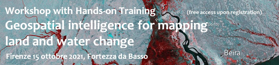
1-day workshop for learning how to use satellite data for producing digital maps with a focus on natural resources and disasters
Satellite observations provide powerful data and tools for understanding and managing natural resources and mitigating nuisance impacts of natural and human-driven disasters. Earth observation supports scientists, professionals, governmental agencies as well as citizens for improved awareness, knowledge, and , thus, informed decision making towards sustainable and safe use of land and water systems. Geospatial Intelligence integrates Remote Sensing data and tools fostering multidisciplinary analytical capabilities able to work effectively at different scales, from global to regional mapping efforts. Geospatial Intelligence also supports joint efforts of satellite-sourced EO with Open Geo Data, Big Data, and Citizen Engagement.
This workshop was free to attend with no prerequisites for participants. The course was tailored for students, young scientists, and professionals. In one- day both theoretical introduction lectures and hand-on materials were used for a start-to-finish project development using geospatial intelligence platforms and algorithms to analyze and map land-water change across scales. Participants worked in groups and prepared within the same day a project on 3 main thematic areas.
Theme 1) Water change and floods F. Nardi, F. Castelli, E. Caporali, A. Annis, C. Arrighi, T. Pacetti
Theme 2) Land change, water management and food production E. Bresci, G. Castelli, C. Dibari, L. Stendardi
Theme 3) Forest change detection and impacts S. Francini, G. Chirici
This event was organized by the Water Resource Research & Documentation Center (WARREDOC) of Università per Stranieri di Perugia in collaboration with the Department of Civil and Environmental Engineering (DICEA), the Spatial Data Laboratory (LDT), the Department of Agriculture, Food, Environment and Forestry (DAGRI), the Water Harvesting Lab, the EcoAgroMeteo Group, the Laboratory of forest geomatics (GeoLab), the COPERNICUS Research Unit of Università degli Studi di Firenze.
All participants that completed the workshop and hand-on training received a certificate of attendance.
Program
Friday 15 october
Morning lectures ( S. Marta Engineering School of University of Florence, Classroom #33)
09:00 – 9:30 Workshop introduction
Fernando Nardi, Filippo Maria Soccodato
09:30 – 10:00 Introduction to satellite data and algorithms for Earth Observation (PRESENTATION)
Fabio Castelli, Gherardo Chirici, Andrea Taramelli
10:00 – 12:00 Training with Hands-On: Using Google Earth Engine data and algorithms for mapping earth features and dynamics and supervised team work by participants to develop their own project
Antonio Annis, Chiara Arrighi, Giulio Castelli, Camilla Dibari, Saverio Francini, Tommaso Pacetti, Laura Stendardi
13:30 – 14:30 Lunch break
Afternoon Session (Earth Technology Expo Fortezza venue , “Sala Fureria”)
14:30 – 16:00 Supervised team work by participants to finish their own project
16:00 – 17:00 Presentation of projects
17:00 – 17:30 Workshop closing and certificates ceremony
MATERIAL, RECORDINGS AND PHOTOS
Tutorials on the hands on can be downloaded at this link
The morning and afternoon sessions were recorded and uploaded in the WARREDOOC Youtube channel:
Watch the Morning Session
Watch the Afternoon Session
You can check the photos of the event at our Facebook page at this link.