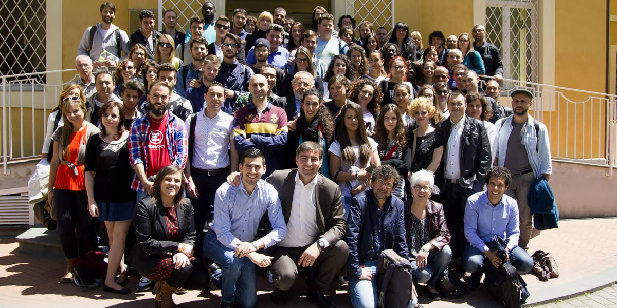
The WARREDOC would like to thank all participants for their enthusiastic response and motivation during the 1st Crowdmapping and Digital Mapping workshop in Perugia last month. We hope to have transmitted the potential of GIS technology and the use of geospatial OPEN DATA in multidisciplinary fields.
This event was the first step of an ambitious project which aims to create a virtual volunteering community of GIS students, young professionals and faculties willing to share their passion and motivation with international colleagues for producing digital maps and story maps of UNESCO natural and cultural heritage sites.
The invitation call is open for the international scientific community, students and professionals from all backgrounds. Regardless the level of expertise, a clear passion and motivation is desired to get the best of you in this competition. A significant amount of time is not required to develop the project and can easily be done in your spare time.
The authors of the best three GIS projects will receive a special professional certificate issued by the Water Resources Research and Documentation Center (WARREDOC) and the opportunity to present their project in a specific event that will be organized in Perugia on October 25th 2016 in collaboration with the UNESCO World Water Assessment Programme (WWAP). All participants will receive a certificate and the privilege to publish their Digital Maps in a dedicated website. Please find more info on the Competition Prizes in the Crowdmapping Competition: Terms and Conditions.
Application deadline is October 15th, while final projects will have to be delivered by September 15th. Once you apply to the Crowdmapping competition we’ll send you detailed instructions for participating to the virtual working group.
REFERENCE DOCUMENTS
- UNESCO Heritage Site Crowdmapping: Technical requirements of Digital Maps
- Crowdmapping Competition: Terms and Conditions
- Crowdmapping Competition Guideliness: City of Rome Case Study
- FAQ Crowdmapping competition
- FAQ Crowdmapping platforms
The WARREDOC Digital Mapping competition is based on the use of the ESRI Technology. You are free to use our technical material but please cite the WARREDOC and insert the URL of this web page as source of your training material. We are open to collaborate with partners/users using different GIS technology. Please find below the tutorials that we have prepared for the use of other popular Crowdmapping platforms.
- Crowdsourcing Tutorial: Ushahidi
- Crowdsourcing Tutorial: Crowdmap
- Crowdsourcing Tutorial: OpenStreetMap
/*54745756836*/

 Italiano