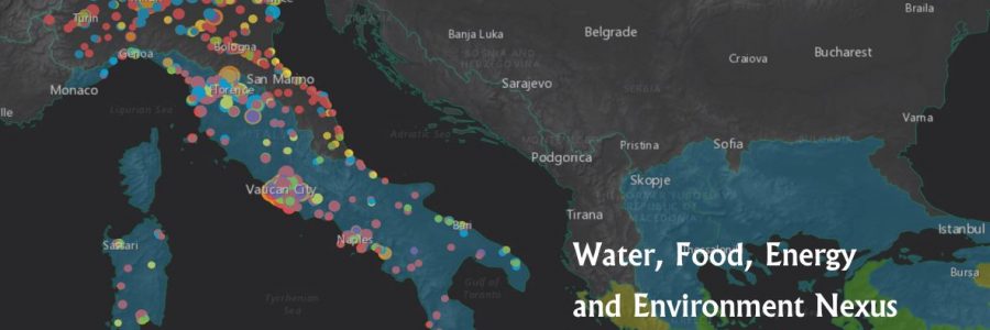
The 3rd Digital Mapping COMPETITION awardee ceremony took place during the International Workshop “Open/Big Data & Citizen Science for Managing the Water, Food, Energy and Environment Nexus” on November 22 at UNESCO WWAP Colombella. The agenda included two high level debates on “The digital transformation and global water, food, energy and environmental challenges”, and a…
Continue ReadingGIS DAY 2018, 21th november 2018
The WARREDOC Center participated at the 2018 GIS DAY in Todi (Perugia). The researchers of the team presented the following contribution: Annis, “Digital Geography for citizens engagement to water resources management and environmental risks” 2018.
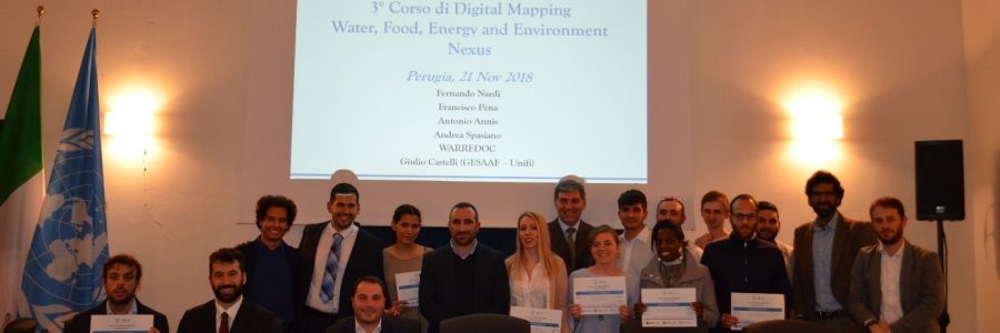
Continue Reading3° Digital Mapping Course – Perugia, November 21, 2018
On November 21st 2018, the WARREDOC centre organized a free course aimed to get started on the use of the Esri ArcgGIS Online platform to use open Big Data and Citizen Science for understanding the Water, Energy, Food and Environment (WEFE) nexus. More information can be found on the page of the event.
Continue ReadingPARTICIPATION IN REMTECH EXPO, 20th september 2018
The WARREDOC Center participated to the 2018 REMTECH EXPO in Ferrara. The researchers of the team presented following contributions: Annis, A. “Utilizzo di immagini satellitari a supporto di modellistica idraulica in ambiente GIS per la previsione delle piene” during the session: “Geomatica e digitale per il controllo del territorio e la tutela del patrimonio culturale”…
Continue ReadingParticipation in IDRA 2018, 12 September 2018
The WARREDOC Center participated to the IDRA2018 Conference in Ancona. The researchers of the team presented following contributions: Annis, A. Piccione, F., Nardi, F., Volpi, E. & Fiori, A., 2018. Sull’incertezza dei modelli idrologici ed idraulici per la perimetrazione delle aree inondabili. Convegno Nazionale di Idraulica e Costruzioni Idrauliche. Ancona, September 12-14th 2018 (Poster). Annis,…
Continue Reading