Italiano
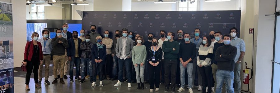
Poster of the event 1-day workshop for learning how to use satellite data for producing digital maps with a focus on natural resources and disasters Satellite observations provide powerful data and tools for understanding and managing natural resources and mitigating nuisance impacts of natural and human-driven disasters. Earth observation supports scientists, professionals, governmental agencies as…
Continue Reading