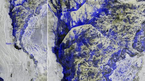
Poster of the event 1-DAY WORKSHOP FOR LEARNING HOW TO USE SATELLITE DATA FOR PRODUCING DIGITAL MAPS WITH A FOCUS ON NATURAL RESOURCES AND DISASTERS Satellite observations provide powerful data and tools for understanding and managing natural resources and mitigating nuisance impacts of natural and human-driven disasEarth Technology Expoters. Earth observation supports scientists, professionals, governmental…
Continue Reading2023 International Summer School on Hydrology
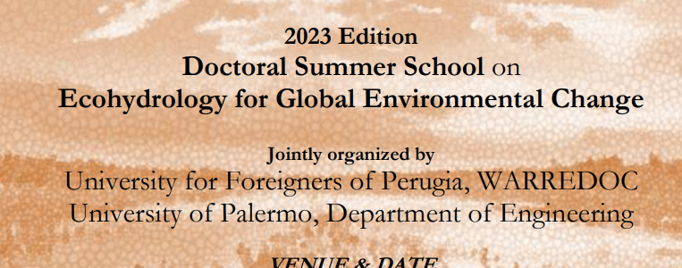
WITH THE SUPPORT AND THE PATRONAGE OF 2023 Edition: Summer School on Ecohydrology and Global Environmental Change Organized by WARREDOC, Università per Stranieri di Perugia University of Palermo – Department of Engineering (Palermo, Italy) on July 3rd – 7th 2023 Link to the Announcement Keynote Lecturers Paolo D’Odorico Amilcare Porporato Maria Cristina Rulli Erkan…
Continue ReadingWATER EXTREMES: BUILDING SUSTAINABLE AND RESILIENT COMMUNITIES A COMPARATIVE LOOK AT COLORADO AND ITALY
Poster of the event International Workshop November 24th, 2022 “Water Extremes: Building Sustainable and Resilient Communities A comparative look at Colorado and Italy” CBLN Fiumicino Venue – Rome (Italy) Viale delle Idrovore di Fiumicino n. 304 – Focene Fiumicino The workshop “Water Extremes: Building Sustainable and Resilient Communities. A comparative look at Colorado and Italy”…
Continue ReadingDIGITAL MAPPING COURSE – Edition 2022
Sustainable and Resilient Communities Facing Water Extremes
Poster of the event Digital mapping 2 days short courses (22-23 november 2022): 1° day course for beginners “From Open Data to Digital maps” 2° day advanced course for “Digital Mapping for Sustainable and Resilient Communities Facing Water Extremes” Digital maps are powerful means for knowledge development, decision-making, scientific dissemination and information sharing to/from experts…
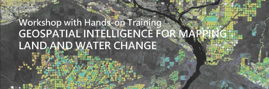
Continue ReadingWorkshop with Hands-on Training (free access upon registration) Geospatial intelligence for mapping land and water change
Poster of the event 1-DAY WORKSHOP FOR LEARNING HOW TO USE SATELLITE DATA FOR PRODUCING DIGITAL MAPS WITH A FOCUS ON NATURAL RESOURCES AND DISASTERS Satellite observations provide powerful data and tools for understanding and managing natural resources and mitigating nuisance impacts of natural and human-driven disasEarth Technology Expoters. Earth observation supports scientists, professionals, governmental…
Continue Reading