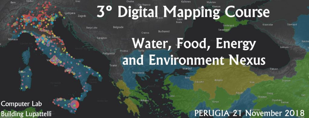
On November 21st 2018, the WARREDOC centre organized a free course aimed to get started on the use of the Esri ArcgGIS Online platform to use open Big Data and Citizen Science for understanding the Water, Energy, Food and Environment (WEFE) nexus.
More information can be found on the page of the event.


 Italiano